
 HarrogateSee this and more of my photos on Flickr ›
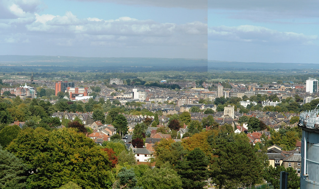
Harrogate, originally uploaded by DragonDrop.
We were lucky enough to be allowed up "Harlow Hill Tower" the other day, a purpose built astronomical observatory. It's Harrogate's highest point - 700ft above sea level and it boast incredible views in all directions - up Nidderdale in one direction and The Vale of York with York Minster visible on a good day, in the other.
It was quite amazing how much you could see. As well as the Minster, you can see Ripon Cathedral, The White Horse, Drax and Ferrybridge power stations, the wind farm and Menwith - as well as some closer to home land marks, such as Grove Road, The Conference Centre and probably all of the church spires in Harrogate. See more of my shots from the top - over here >>
2 comments
This is strange. there is this housing estate up Harlow Hill that is completely in as circular boundary http://maps.google.co.uk/maps?f=q&source=s_q&hl=en&geocode=&q=Harlow+Hill,+Harrogate&sll=53.800651,-4.064941&sspn=7.063324,28.256836&ie=UTF8&hq=Harlow+Hill,&hnear=Harrogate,+North+Yorkshire,+United+Kingdom&ll=53.98256,-1.562977&spn=0.001716,0.006899&t=h&z=17 You can see it on the first edition map here http://i57.photobucket.com/albums/g216/hermannyorks/circularfeature.jpg Very strange, and no practical explanation
That is strange. Thanks for pointing it out. We used to live inside that circle.
Comments are closed. This is a read-only archive.